Southcrest is a small southeastern San Diego neighborhood reshaped by a planned freeway that was never built. Many original homes were cleared for the route and replaced with tract housing, and the former right-of-way is now a creekside park.
The Southcrest market
Southcrest lies east of Interstate 5, bordered by Mountain View to the north and east, Logan Heights and Barrio Logan to the west, and Shelltown to the south. National Avenue and 40th Street are its main streets. Chollas Creek runs through the neighborhood toward San Diego Bay, and Southcrest Trails Park follows the creek along the former State Route 252 corridor. The neighborhood was once considered part of Shelltown, and many residents still use that name. Housing is mostly single-family homes, including tract houses built after the freeway plans were dropped and older homes that survived the clearance. Brian Ward considers creek proximity, flood zones, housing era and added units carefully when comparing homes here.
How Southcrest took shape
Southcrest was originally part of Shelltown. In the mid-1900s, State Route 252 was planned to connect Interstate 805 and Interstate 5 through the area, and many older homes were demolished in anticipation. The freeway was later cancelled. Tract housing replaced some cleared land, and the area was renamed Southcrest. The remaining right-of-way along Chollas Creek became 252 Corridor Park, later renamed Southcrest Trails Park. The first Samoan church in the United States built its sanctuary here in 1964.
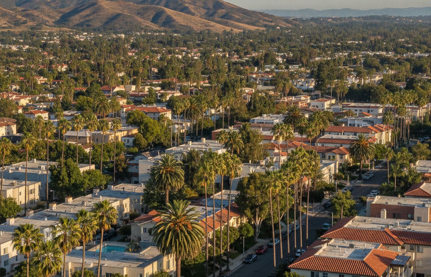
Homes and housing stock
Housing includes older homes from the early to mid-1900s that survived the freeway clearance and tract homes built after the route was abandoned. Most are single-family houses between about 1,000 and 1,600 square feet on standard city lots, and some lots hold a second unit or converted garage. The two eras differ in construction, floor plans and condition, so they are often treated as separate segments. Small apartment buildings sit near National Avenue and other main streets. Homes close to Chollas Creek may fall within mapped flood zones, which affects insurance cost and buyer demand.
Pockets and enclaves
Shelltown edgeMountain View edgeNational Avenue corridorSouthcrest Trails Park area
Local landmarks
- Southcrest Trails Park
- Chollas Creek
- National Avenue
- First Samoan church in the United States
- Interstate 5
What moves values in Southcrest
Flood zones
Homes near Chollas Creek may be in flood zones, affecting insurance costs.
Freeway proximity
Homes near Interstate 5 or Interstate 15 face noise.
Housing era
Tract homes and older homes form different segments.
Added units
Permitted units add value; unpermitted units receive limited credit.
Park proximity
Homes near Southcrest Trails Park may draw buyer interest.
Appraisal assignments here
Probate and trust appraisals are common because many Southcrest homes have been owned by the same families for decades, including the Samoan and Mexican-American families long rooted here. Parent-to-child transfers follow. Divorce appraisals may involve properties with added units whose permit status is unclear. Pre-sale reports help families understand value before selling, and insurance disputes can arise after flooding along Chollas Creek.
Southcrest appraisal questions
Does flood zone status affect Southcrest home values?
It can. Homes in mapped flood zones along Chollas Creek may require flood insurance, which raises ownership costs. Brian Ward checks FEMA flood maps for the subject and comparables, notes the designation in the report, and considers whether local sales show buyers paying less for homes in the flood zone.
Are Southcrest and Shelltown the same?
Southcrest was once part of Shelltown, and many residents still use the older name, so records and listings can mix the two. Brian Ward confirms the exact location of the property and comparables, and selects sales with similar housing era and setting rather than relying on the neighborhood label.