Morena occupies the low ground and lower slopes along Morena Boulevard, wedged between Interstate 5, Mission Bay and the Linda Vista mesa. Rezoning tied to the trolley has made land and location matter here as much as the age of the house on it.
The Morena market
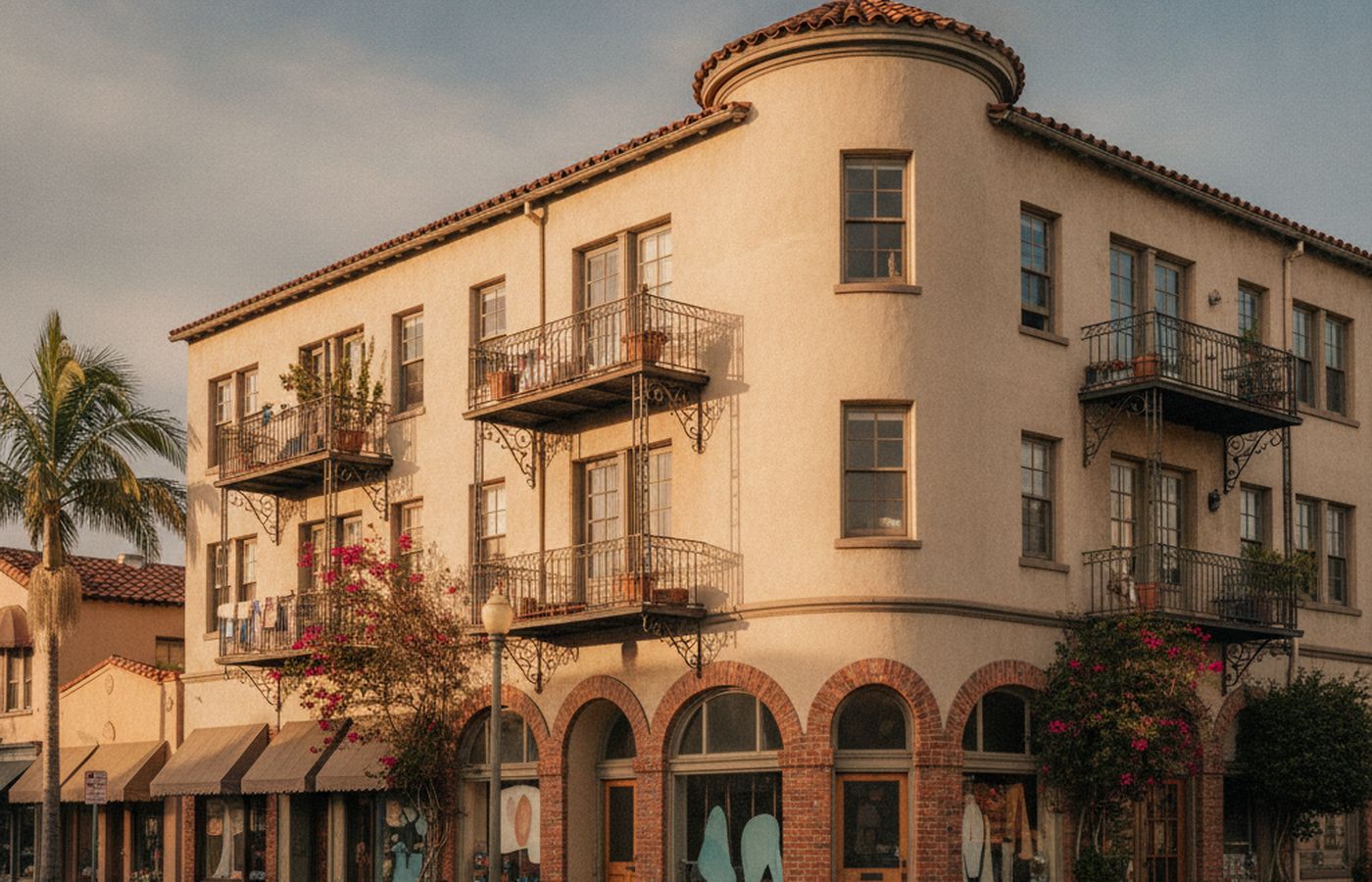
Morena Boulevard has long been known for furniture, lighting and design showrooms, plus restaurants that serve both locals and Mission Bay visitors. The Mid-Coast extension of the Blue Line opened in 2021 with stations at Tecolote Road and Clairemont Drive, and the Morena/Linda Vista station on the Green Line sits at the southern end, so few neighborhoods in the city have as much rail access. The housing that predates those changes is a mix of small mid-century homes climbing the hillsides toward USD and older apartment buildings near the boulevard. The 2019 Morena Corridor Specific Plan allows taller mixed-use buildings in places, and newer apartment projects have started to appear. An appraisal here weighs the existing improvements against what the site could support.
How Morena took shape
The flats below the mesa were railroad and light-industrial land for much of the early twentieth century, served by the Santa Fe line that still runs along the corridor. Small houses went up on the slopes in the 1940s and 1950s as Linda Vista and Clairemont grew above. Morena Boulevard became an auto-oriented commercial strip, later known for design retailers. The trolley arrived on the southern end decades before the 2021 Mid-Coast extension, and the 2019 specific plan began the shift toward denser housing near stations.
Homes and housing stock
Detached homes are mostly one-story mid-century houses from the 1940s and 1950s, often 900 to 1,400 square feet, on sloping lots that step up from the boulevard toward Linda Vista. Some have been expanded upward to capture bay views. Small apartment buildings and duplexes from the 1960s and 1970s fill many blocks near Napa Street and Linda Vista Road. Newer construction is largely multifamily rental housing near the stations, with limited for-sale condo product. Topography varies from flat corner lots to steep downslope sites, which changes both usable area and construction cost for any addition.
Pockets and enclaves
Napa Street areaMorena Boulevard frontageTecolote Road corridorHillside streets below Alcala ParkWest end of Linda Vista Road
Local landmarks
- Morena/Linda Vista trolley station
- Tecolote Road trolley station
- Morena Boulevard design showrooms
- Mission Bay
- University of San Diego on the mesa above
What moves values in Morena
Specific plan zoning
The Morena Corridor Specific Plan raised allowable density in parts of the corridor, so some older lots carry redevelopment value beyond the existing house.
Bay views from slopes
Hillside homes may see Mission Bay over the flats, while homes on the boulevard look at traffic and rail. View and elevation are separate adjustments.
Rail and freeway noise
The Santa Fe line, trolley and Interstate 5 run close to many properties, and noise exposure varies block by block.
Mixed-use surroundings
Commercial and residential uses sit side by side, so a house next to a showroom or auto shop is not directly comparable to one on a quiet hillside street.
Small multifamily
Duplexes and small apartment buildings call for income analysis alongside sales comparison.
Appraisal assignments here
Estate and trust work often involves older owners on the hillsides or small apartment properties held as income for decades. Pre-sale appraisals are useful for heirs who need to understand whether a lot's zoning makes a land-value approach more relevant than the house itself. Tax-related valuations, including Proposition 19 family transfers, come up for small multifamily buildings, and divorce assignments sometimes involve rental properties with leases in place.
Morena appraisal questions
Does the trolley increase home values in Morena?
Rail access is one of several factors, and its effect is visible mostly in land value and in demand for rentals near stations. Brian Ward does not apply a blanket premium. The appraisal compares homes with similar distance to stations and similar noise exposure, so any effect is measured through actual sales.
How is an older house on a lot zoned for higher density valued?
The appraisal considers highest and best use. If market evidence shows buyers paying for the land's development potential more than for the existing house, that is reflected in the analysis. If the house still represents the most likely use, sales of similar homes remain the primary basis for value.
Nearby
Linda Vista
Wartime planned community on the mesa above Mission Valley
Bay Park
West-facing hillside homes looking over Mission Bay
Old Town
Where the city began, below Presidio Hill
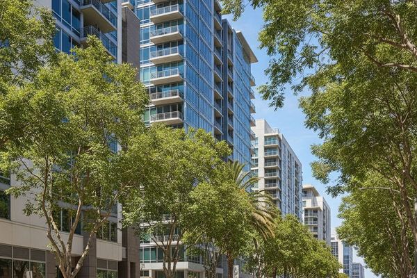
Mission Valley
River floodplain turned San Diego's condo and retail corridor
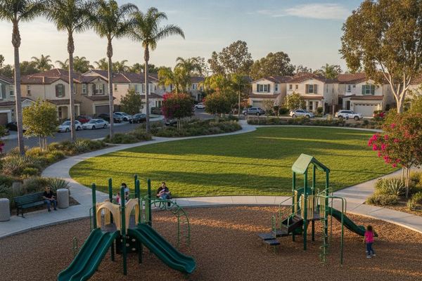
Clairemont
Postwar village within a city, split by canyons